In the early 1900s, Puerto Rico’s sugar industry helped drive an ambitious effort to control water. The resulting reservoirs, tunnels, and canals transformed agricultural production and left a mark on the island that outlasted the sugar mills themselves.
In August 1912, sugar producers gathered at Central Fajardo to discuss a problem that threatened their livelihoods: there wasn’t enough water.
A prolonged drought had damaged cane fields across parts of Puerto Rico. Rainfall that farmers normally depended on had become unreliable, and the sugar industry needed a way to protect its crops from future dry spells.
The meeting brought together planters, agricultural scientists, and an irrigation engineer. They examined rainfall records, river discharge, pumping equipment, and the possibility of building canals to carry water into the fields.
One engineer calculated that the Fajardo River could supply enough water to irrigate approximately 1,500 acres of sugar cane, even under conservative drought assumptions.
The calculations reflected a changing relationship with Puerto Rico’s natural resources. Rivers were being measured not only by how much water flowed through them, but by how many acres they could keep productive.
The Fajardo meeting was one example of a much larger transformation.
On Puerto Rico’s southern coast, engineers were already constructing a network of reservoirs, tunnels, and canals that would redirect water across the landscape. The project was publicly financed, but its development was closely tied to the needs of an increasingly powerful sugar industry.
More than a century later, parts of that infrastructure remain. The sugar mills are largely gone, but their history is still written into Puerto Rico’s waterways.
Sugar cane had a water problem
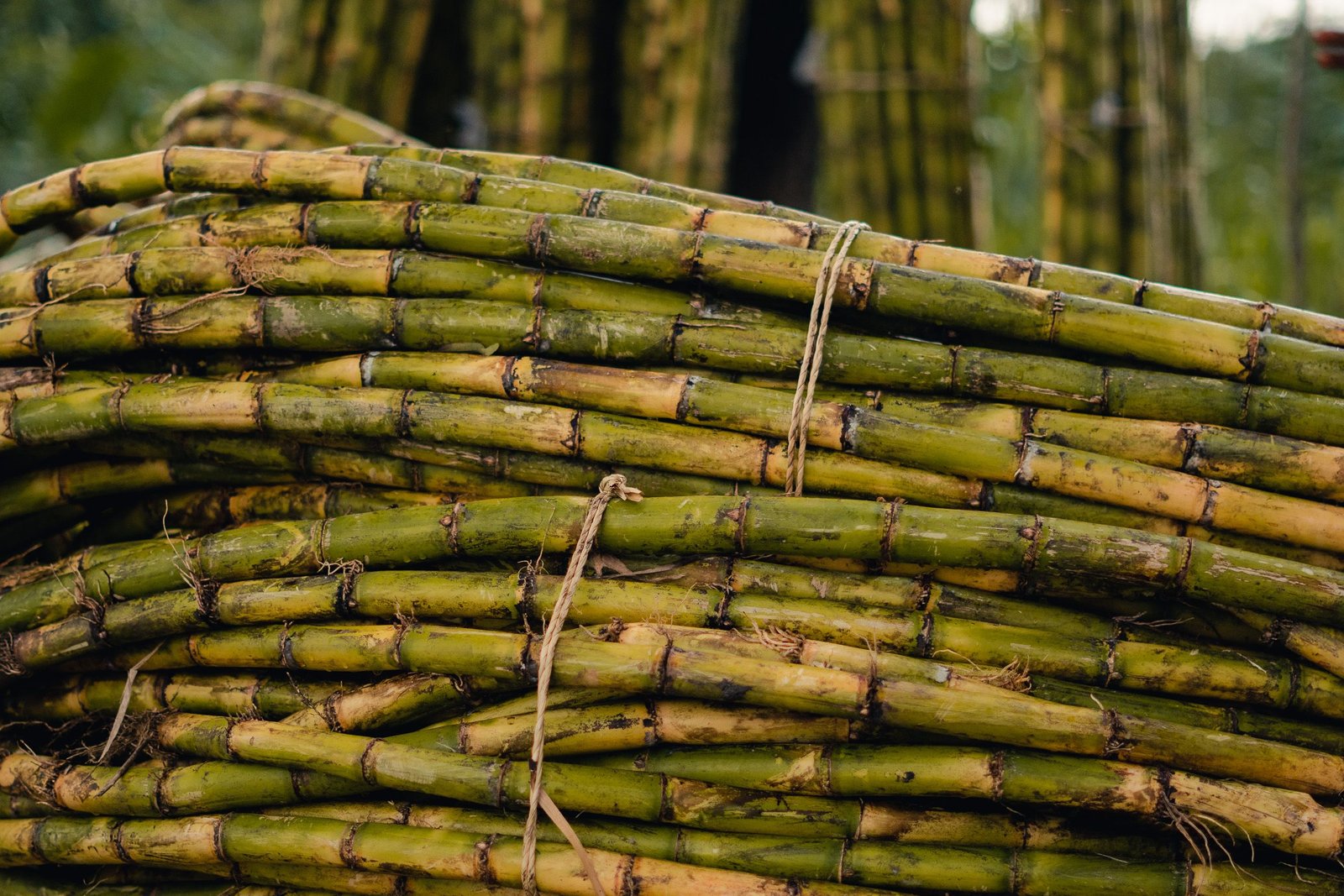
Puerto Rico’s tropical climate might seem ideal for growing sugar cane. The crop thrives in warmth and requires substantial moisture, two resources the island appears to have in abundance.
But rainfall is not distributed evenly across Puerto Rico.
The central mountains receive considerably more precipitation than many areas along the southern coast. The broad coastal valleys offered fertile land for extensive cane cultivation, but seasonal droughts could threaten production.
This became especially important as the sugar industry grew in the late nineteenth and early twentieth centuries.
Large sugar mills, known as centrales, were expensive industrial operations. Their machinery required substantial quantities of cane to operate efficiently. A poor harvest meant less raw material reaching the mills, potentially leaving expensive equipment underused.
The industry needed a more dependable supply of water.
In the 1912 Fajardo proceedings, J. T. Crawley, director of the Sugar Producers’ Association Experiment Station, argued that growers should think about irrigation much as they thought about insurance.
Planters already insured buildings, machinery, workers, and shipments against various risks. But the cane crop, the foundation of their business, remained vulnerable to drought.
Crawley’s proposed solution involved using nearby rivers, groundwater, and irrigation works to supplement rainfall.
The practical questions were extensive. How much water did sugar cane need? Could it be transported economically? Would gravity-fed canals work, or would pumps be necessary? How much would be lost before the water reached the roots?
These were not entirely new agricultural questions. Irrigation had existed in Puerto Rico before the twentieth century. What was changing was the scale at which water could be managed and the amount of capital available to do it.
Turning rivers into agricultural infrastructure
The Fajardo meeting produced a revealing engineering calculation.
On August 14, 1912, engineer W. W. Schlecht measured the Fajardo River flowing at approximately 1,250 liters per second, or about 29 million gallons per day.
But that measurement represented the river on a particular day, not the minimum water available during a severe drought.
Schlecht proposed using a much lower flow of 550 liters per second for planning purposes. Even at that rate, he calculated that the river could irrigate roughly 1,500 acres if water was delivered continuously and losses were accounted for.
He also identified the Mameyes, Blanco, and smaller nearby streams as possible sources for irrigation.
The planters were considering three main approaches: diverting river water through gravity-fed canals, pumping directly from streams, or drawing groundwater through wells.
Each involved different costs and engineering demands.
A gravity-fed canal could be expensive to construct because it required carefully graded channels, but it avoided some of the recurring fuel and maintenance costs associated with pumps.
Pumping could provide more flexibility, particularly where terrain made a canal impractical.
Even soil preparation mattered. Water had to reach the cane without being lost to runoff, excessive seepage, or evaporation. Drainage channels were also necessary where fields could become waterlogged.
The engineers understood that simply having access to a river did not guarantee successful irrigation. Water had to be captured, transported, distributed, and managed.
The Fajardo proceedings document proposals and calculations, rather than the completion of a particular irrigation network. But they show how the sugar industry was beginning to approach water as an agricultural resource that could be systematically engineered.
The same thinking was already being put into practice on a much larger scale along the southern coast.
Moving mountain water to the southern sugar fields
The idea of diverting water from Puerto Rico’s mountains to its southern plains had been discussed long before the Fajardo meeting.
In 1866, engineer E. W. Webb proposed using the headwaters of the Río La Plata to supply irrigation in the southeast. His concept involved storing water in the Carite area and carrying it through a mountain tunnel toward Guamaní, according to historical research by Rafael Rodríguez Cruz.
The proposal anticipated a central feature of the system built decades later: moving water between watersheds to serve agricultural land that could not depend on local rainfall alone.
By the early 1900s, the economic incentive to carry out such projects had grown considerably.
Large sugar operations occupied extensive areas of Puerto Rico’s southern coastal plain. Irrigation promised to reduce production losses during dry periods and increase the reliability of the cane supply feeding the centrales.
In 1908, Puerto Rico’s legislature authorized a major public irrigation project, with an initial budget of approximately $3 million.
The financing framework included government bonds and special assessments on land benefiting from irrigation. The project was therefore a public undertaking, although major sugar producers stood to benefit from the infrastructure.
Construction encountered administrative and financial difficulties. In 1911, the government reorganized the project and assumed more direct control over the work.
The completed system was inaugurated in September 1914.
Its main components included reservoirs at Patillas, Carite, and Guayabal, together with canals, tunnels, and associated waterworks. The wider system also incorporated additional storage facilities.
The engineering was ambitious. Water could be impounded at higher elevations, conveyed through tunnels, and delivered along channels toward the coastal fields.
National Register of Historic Places documentation for Central Aguirre describes approximately 60 kilometers of irrigation works serving around 34,000 cuerdas, a traditional Puerto Rican unit of land area slightly smaller than an acre.
Instead of relying only on rainfall or rivers passing through individual properties, growers could receive water from a coordinated regional network.
Puerto Rico’s geography had become part of an enormous agricultural engineering project.
The reservoirs that made it possible
Three reservoirs illustrate how the early system worked.
Lago Patillas supplied irrigation water to agricultural areas along the southeastern coast. Completed in 1914, its canal extended approximately 32 kilometers toward Río Salinas, carrying water through communities and agricultural lands in Patillas, Arroyo, Guayama, and Salinas.
Lago Carite demonstrated the possibilities of moving water across watershed boundaries. Completed in 1913, the reservoir stored water in the mountains near Guayama. A diversion tunnel directed water toward the southern slope, where it could feed irrigation channels.
Lago Guayabal, in the Juana Díaz area, formed part of the western portion of the early irrigation works. Together with its associated channels and storage facilities, it helped extend managed water delivery across the southern coastal plain.
The project required more than building dams.
Engineers had to understand river flow, rainfall patterns, elevation, soil conditions, and the amount of water that would be lost as it traveled through canals.
Storage reservoirs made it possible to retain water for later use. Tunnels and canals moved it across terrain. Distribution channels delivered it toward individual agricultural areas.
The resulting system connected mountain watersheds to coastal sugar fields in ways that natural drainage alone did not.
The economic value of controlling water
The impact of irrigation can be seen in the records of Central Aguirre, one of Puerto Rico’s major sugar operations.
According to the National Register documentation for the Central Aguirre Historic District, the mill produced approximately 27,100 tons of sugar in 1914.
By 1918, production had increased to 47,117 tons.
Central Aguirre’s own annual report credited the government irrigation system as a major reason for its improved harvest and ability to maintain productive fields.
Irrigation was not necessarily the only factor behind the increase. Cultivation practices, acreage, machinery, and other changes could also influence production.
Nevertheless, the company’s assessment demonstrates the value it placed on reliable water.
A central depended on cane arriving from surrounding agricultural land. Water shortages could reduce the supply feeding the mill. Irrigation reduced some of that uncertainty and made it easier to plan production.
The benefits extended beyond individual harvests.
Land with dependable irrigation could become more productive and valuable. Large mills could operate with greater confidence in their future cane supply. Investment in agricultural machinery and transportation became less vulnerable to recurring drought.
Water had become a form of industrial infrastructure.
Public investment, private sugar interests
The southern irrigation project also reveals how closely Puerto Rico’s public infrastructure development was connected to the sugar economy.
The principal reservoirs and canals were government projects, financed through public mechanisms and assessments on benefited land. They were not simply constructed and owned by individual sugar plantations.
Yet large sugar operations were among the principal agricultural beneficiaries.
The distinction matters because much of the industry’s development depended on infrastructure extending beyond the boundaries of any one plantation.
Historian César J. Ayala’s research on Puerto Rico’s sugar corporations documents the concentration of capital and economic power within large, interconnected enterprises during this period. The four major U.S.-linked sugar corporations accounted for approximately 60 percent of Puerto Rico’s sugar production by the late 1920s.
Against that economic backdrop, irrigation represented an important public investment in agricultural productivity.
Rafael Rodríguez Cruz’s research on the southeastern irrigation system also documents disputes over the project’s financing, administration, and construction. His account describes the labor recruited for the project, including workers from the sugar-growing region during the agricultural off-season.
The irrigation network helped increase the productive capacity of the land. But improved agricultural productivity did not automatically mean that workers and independent growers shared equally in the gains.
That tension was part of the larger history of Puerto Rico’s sugar industry, whose expanding industrial capabilities existed alongside concentrated landownership and difficult labor conditions.
From irrigating cane to generating electricity
The system’s engineering created another possibility.
Water stored in mountain reservoirs could generate power as it descended through tunnels and channels toward lower elevations.
The Carite project became an important early example.
Lago Carite was constructed in 1913. In 1915, Carite 1 became Puerto Rico’s first government-owned hydroelectric generating station, according to the Puerto Rico Energy Bureau’s historical timeline.
The infrastructure built to move water for agricultural irrigation also helped make early public hydroelectric generation possible.
This was a significant development for Puerto Rico’s emerging electrical system.
As the island’s water infrastructure expanded, additional reservoirs and diversions were incorporated into the southern system, including Guineo and Matrullas by the mid-1930s.
The relationship between irrigation and hydroelectric power demonstrated how investments initially driven by agricultural demand could support other public uses.
The infrastructure was beginning to serve purposes beyond the industry that had helped justify its construction.
The sugar mills disappeared. The water infrastructure remained.
Puerto Rico’s sugar industry weakened substantially after the middle of the twentieth century.
Industrial development, shifting agricultural economics, changing labor conditions, and declining competitiveness all contributed to the closure of sugar mills.
By 2000, the island’s last major operating sugar mills had ceased production.
The reservoirs and canals followed a different path.
Some irrigation infrastructure continued serving agricultural needs, although water deliveries and land use changed. Reservoirs and related facilities also became parts of broader water-management systems.
The original Carite hydroelectric facilities eventually ceased generating power, and the historic irrigation network has undergone changes over its long history. It would be inaccurate to suggest that every canal, tunnel, and generating station continues operating as originally designed.
Still, the physical infrastructure remains a reminder of the period when sugar production was important enough to justify large-scale efforts to redirect and manage water.
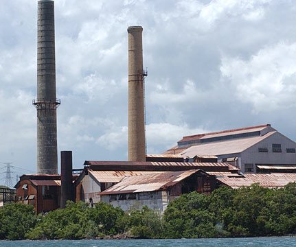
Many of Puerto Rico’s old centrales have become ruins, while reservoirs and waterways once closely associated with the sugar economy remain part of the landscape.
A different way to see Puerto Rico’s landscape
Today, Lago Patillas and Lago Carite may appear to be ordinary features of Puerto Rico’s mountainous countryside. A canal running beside a road might attract little attention.
Their history reveals something less obvious.
The early twentieth-century sugar economy encouraged planners and engineers to think about Puerto Rico’s rivers in terms of storage capacity, agricultural acreage, water delivery, and industrial production.
Public officials authorized major infrastructure investments. Engineers measured river flows, studied watersheds, and built reservoirs and tunnels. Workers excavated channels and constructed the systems that carried water toward the coastal plains.
The result was a network that connected Puerto Rico’s mountains to its sugar fields and contributed to the development of public hydroelectric power.
The mills that once depended on that water have mostly disappeared.
The reservoirs, canals, and altered waterways tell a longer story about the industry that helped shape them.
Puerto Rico’s sugar history remains visible not only in its abandoned factories, but in the way water was engineered to move across the island.
Sources and further reading
Sugar Producers’ Association of Porto Rico (1912). Irrigation: Proceedings of a Meeting of Sugar Planters, Held at Central Fajardo, August 15, 1912. Experiment Station, Río Piedras. Digitized original at Internet Archive.
U.S. Geological Survey. Ground Water Atlas of the United States: Puerto Rico and the U.S. Virgin Islands. Includes the historical development of southern coastal irrigation. USGS publication.
National Park Service. Central Aguirre Historic District, National Register of Historic Places Registration Form, Section 8, page 88. Documents the government’s irrigation system and Central Aguirre’s production figures. Read the nomination PDF.
Rafael Rodríguez Cruz (2018). Coloniaje y corrupción: El sistema de irrigación del sureste de Puerto Rico, 1906–1914. 80grados. Historical research on the project’s origins, financing, construction, and political economy. Read the article.
Puerto Rico Department of Natural and Environmental Resources. Informe sobre los embalses de Puerto Rico. Historical and technical information about reservoirs and the Carite hydroelectric system. Read the report (PDF).
Puerto Rico Energy Bureau. History of Electricity Generation in Puerto Rico. Documents Carite 1’s role in early public hydroelectric generation. Read the historical timeline.
César J. Ayala (1994). Finance Capital versus Managerial Control in a Colonial Sphere: United States Agribusiness Corporations in Puerto Rico, 1898–1934. Research in Political Economy, vol. 14, pp. 195–220. Used for historical context on corporate concentration in the sugar industry.